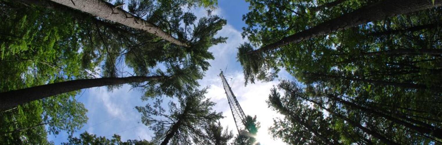
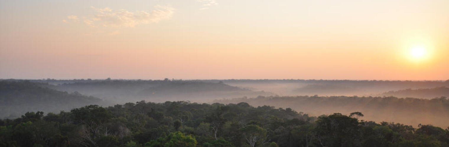
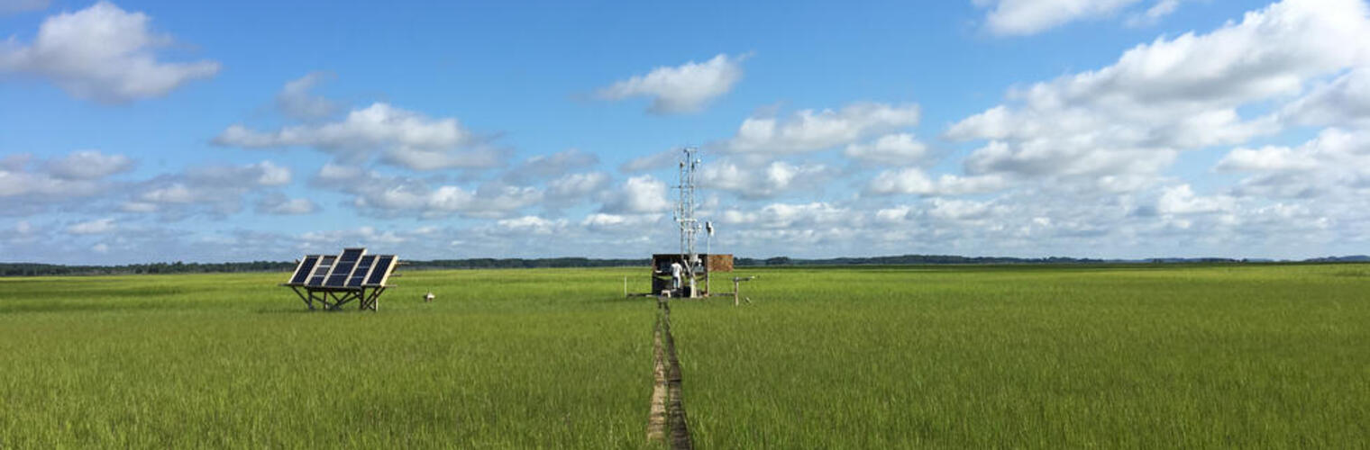
We are global change ecologists and we use various tools — remote sensing, field observations, and modeling — to understand the impact of climate change on our ecosystems. We travel to ecosystems from tropics to the arctic. We use novel remote sensing techniques to see the ecosystems in ways we couldn't. We use advanced computer science techniques to analyze geospatial products. Please contact xiyang@virginia.edu if you are interested in joining the lab! We are looking for motivated undergraduate, graduate students, and postdocs.
Latest Publications
- Canopy Structure Exhibits Linear and Nonlinear Links to Biome-Level Maximum Light Use Efficiency.
- Proximal remote sensing: an essential tool for bridging the gap between high-resolution ecosystem monitoring and global ecology.
- Unveiling the transferability of PLSR models for leaf trait estimation: lessons from a comprehensive analysis with a novel global dataset
- Impact of atmospheric dryness on solar-induced chlorophyll fluorescence: Tower-based observations at a temperate forest
- Saltwater intrusion and sea level rise threatens US rural coastal landscapes and communities
- Immediate and lagged vegetation responses to dry spells revealed by continuous solar-induced chlorophyll fluorescence observations in a tall-grass prairie